
Islamabad Master Plan was designed in 1960 by the Greek firm Doxiadis Associates as a model capital. The total area of Islamabad was declared to be about 906.5 sq km. Doxiadis planned it with strong ideas of order, green zones, low density, and balancing nature with development. Think wide roads, sectors, green belts, and natural ravines left undisturbed.
Islamabad’s original planning vision was built around a careful relationship between urban development, greenery, and the natural landscape. However, as the capital expands, concerns are increasingly being raised about whether Islamabad is replacing green spaces with concrete for development and military projects. This has renewed interest in the Islamabad Master Plan and whether its original priorities still align with the city’s current growth. As population, housing demand, commercial activity, and infrastructure requirements increase, the challenge is finding a balance between development and the environmental character that has long defined Islamabad.
In this article, we are discussing how efficient the Doxiadis plan is and how sustainable it is as a model city project. Also, what are the causes that are impacting Islamabad map and master plan, and how can we make it better?
The Master Plan: How Islamabad Was Designed and Built?
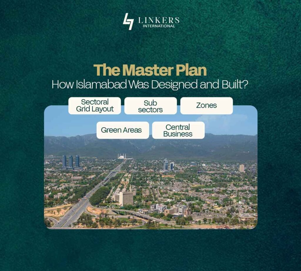
Islamabad Master Plan was a bold attempt to create a city that balanced functionality, security, and serenity. From its grid-based sectors to its green belts and zoning regulations, every detail was carefully mapped out by world-renowned planners to ensure long-term sustainability and livability.
The Master Plan of Islamabad was designed around a structured system of sectors, roads, green belts, and designated land uses. If you look at an Islamabad map, the city’s sector-based layout becomes clear, with residential sectors organized into a grid and separated by major roads and open spaces. This planning approach was intended to make the capital more organized, accessible, and environmentally responsive. Understanding the design of Islamabad’s sectors is therefore important when examining how the city has evolved, and whether newer development is strengthening or moving away from the principles established in the original plan.
Let’s discover how Islamabad was imagined, designed, and built into the peaceful, organized city we know today.
Sectoral Grid‑Layout: The city was divided into 84 sectors (though many remain undeveloped or partially developed). Each sector is roughly 2 km × 2 km (≈ 2000m x 2000m).
Sub‑sectors: In each sector, there are five sub‑sectors: four residential (for different groups) + one commercial “Markaz” (market centre) for daily needs.
Zones: To manage land use, Islamabad was divided into five zones in 1992 under zoning regulations: Zone I, II, III, IV, V. Each zone has specific allowed uses (residential, institutional, green, rural, etc.).
Green Areas & Natural Elements: Margalla Hills & ravines are key natural features. Rawal Lake buffer, green belts between sectors, and around water bodies were part of the plan.
Central Business/Administrative Spine: The “Blue Area” (along Jinnah Avenue / Khyaban‑e‐Quaid‑e‐Azam) was planned as the commercial & administrative heart. Government secretariat buildings, etc., were concentrated in the eastern part of the city.
E, F, G Series – Prime Sectors (Main City Core)
| E-Sectors | Located near the Margalla Hills (north). Mostly reserved for institutions, govt. offices, and some high-end residences (e.g. E-7 has PM House). |
| F-Sectors | Considered the most prestigious residential sectors (e.g. F-6, F-7, F-8). Wide roads, parks, markets, and embassies |
| G-Sectors | More middle-income and mixed-use. Includes schools, hospitals, and residential areas. G-9 has the famous Karachi Company market |
H and I Series – Public Institutions & Affordable Housing
| H-Sectors | Mainly for public institutions: universities, hospitals, and schools. Example: H-9 (FAST), H-8 (FBISE, PIMS). Not typically residential. |
| I-Sectors | Originally planned for low-cost housing. Smaller plot sizes, mixed with industrial/commercial activity. Includes sectors like I-8 (now high-value), I-10, I-11 |
B-Series – Private Expansion (Not in Original Master Plan)
| B-Sectors | Like B-17, these are privately developed sectors outside the original CDA grid. Often under MPCHS or other societies. More affordable, but growing rapidly due to connectivity (e.g. Margalla Avenue). |
One of the most important areas in this discussion is Islamabad Zone 4, a large area historically associated with environmental protection, controlled development, and the preservation of Islamabad’s natural landscape. As development pressures continue to extend beyond the established urban core, questions around Zone 4 highlight a larger issue: how should Islamabad grow without compromising the green character and ecological value that distinguish it from other cities?
Rethinking the Islamabad Master Plan does not necessarily mean stopping development; instead, it could mean updating planning strategies to accommodate growth while protecting green corridors, natural terrain, and the long-term livability of the capital.
Key Signs Islamabad Master Plan Is Under Pressure
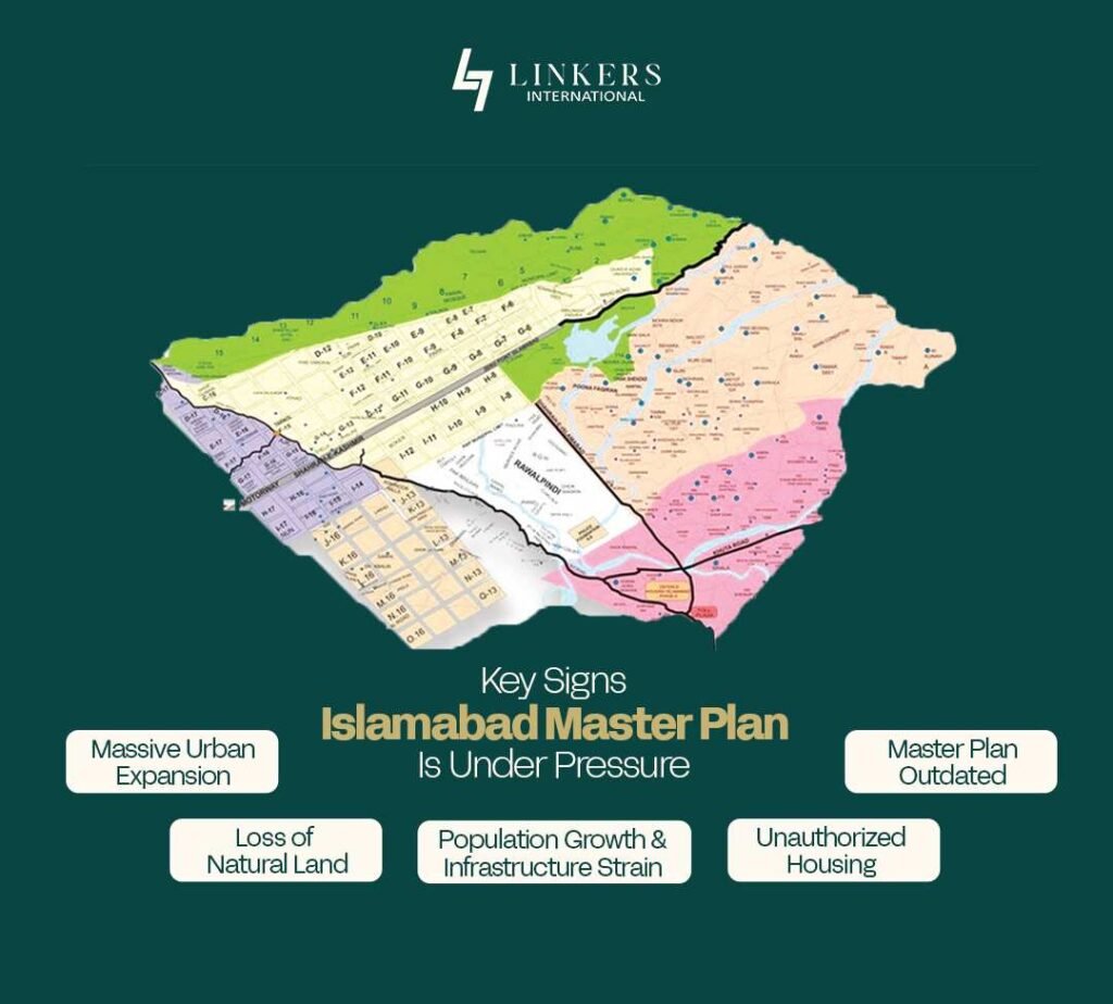
Fast forward to 2025: many say that the Islamabad Master Plan is fraying at the edges. What was once a blueprint is now more of a collage of fixes, patches, and sporadic expansions. Let’s look at the warning signs.
Massive Urban Expansion: In 1990, Islamabad’s built‑up area was about 2,693 hectares. By 2020, that had ballooned to 18,469 hectares, a 585% increase over thirty years. That means Islamabad has been expanding at an average of 525 hectares per year during that period.
Loss of Green & Natural Land: Tree cover dropped from 28,060 hectares in 1990 to 25,243 hectares in 2020. Agricultural land, grasslands, and forests have steadily been converted into housing societies, commercial blocks, roads etc.
Population Growth & Infrastructure Strain: Islamabad’s population has grown from 2.0 million in 2017 to 2.4 million in 2023. Water demand vs supply is a serious gap. The city’s demand is 176 million gallons per day (MGD), but its combined sources only produce about 84 MGD. A shortfall of 92 MGD most of the year.
Master Plan Outdated & Loosely Enforced: The original plan required a revision every 20 years. That schedule has been ignored; there has been no full revision since its creation. Over 50 amendments have been made to the master plan over time, many selective, some altering zoning (e.g., converting industrial or buffer zones to residential).
Unauthorized Housing Schemes and Shrinking Green Spaces: There is “mushroom growth” of unregulated housing societies. Green belts, tree‑lined avenues, and buffer zones are being eroded for development projects (roads, flyovers etc.).
Major Changes in Islamabad Master Plan: H-Series Sectors Reclassified as Residential
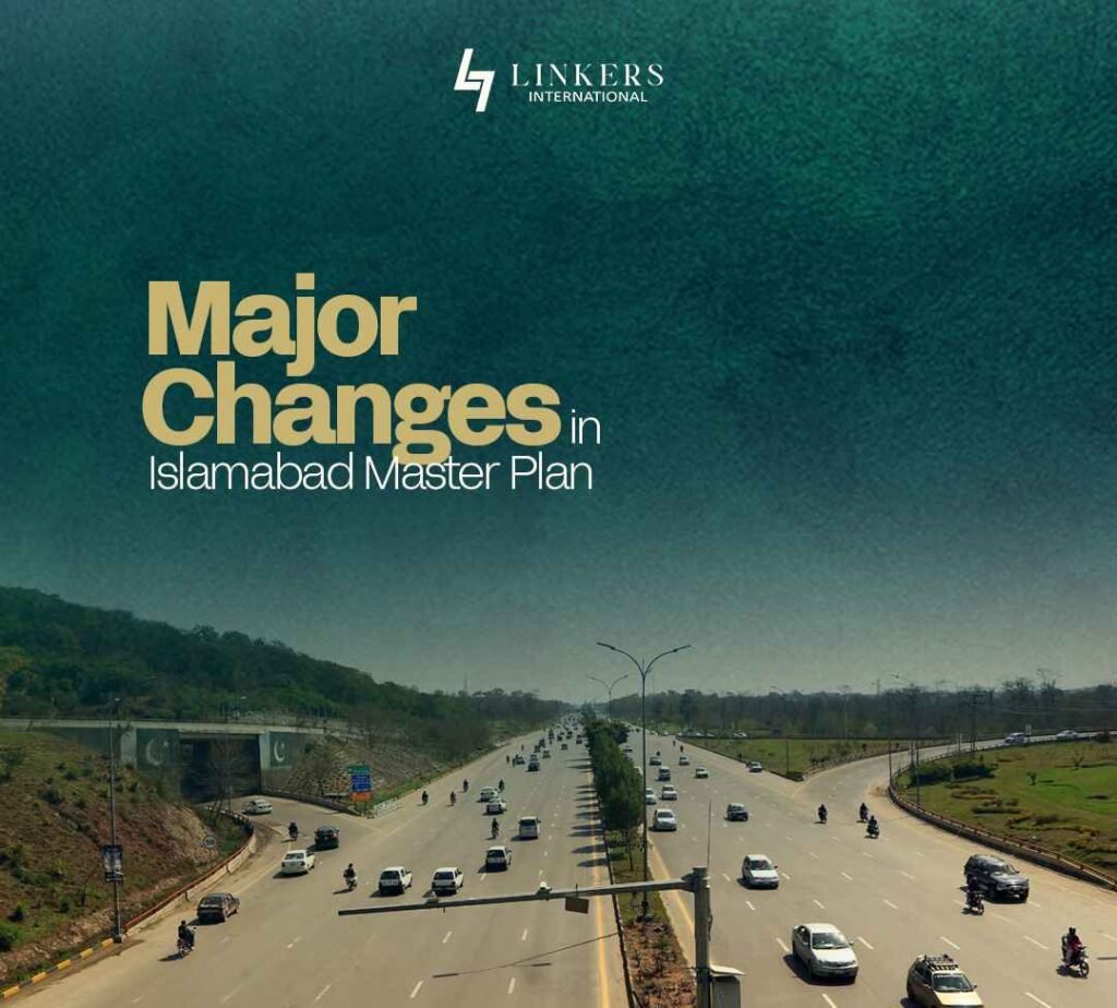
A few months ago, the federal government of Pakistan introduced at least six major amendments to Islamabad’s master plan, marking a significant shift in the city’s planning strategy.
Among the key changes was the reclassification of four H-series sectors, which were removed from Zone I, traditionally reserved for planned development. These sectors, previously designated as buffer zones with half institutional and half green space usage, have now been converted into residential areas, paving the way for urban development and housing projects.
The move has drawn mixed reactions. Proponents believe it will help address Islamabad’s housing shortage and make better use of underdeveloped land. However, critics warn that removing buffer zones and institutional areas without comprehensive planning could strain infrastructure, increase congestion, and upset the city’s zoning balance.
Reimagining Islamabad Master Plan: What Could Be Done Differently
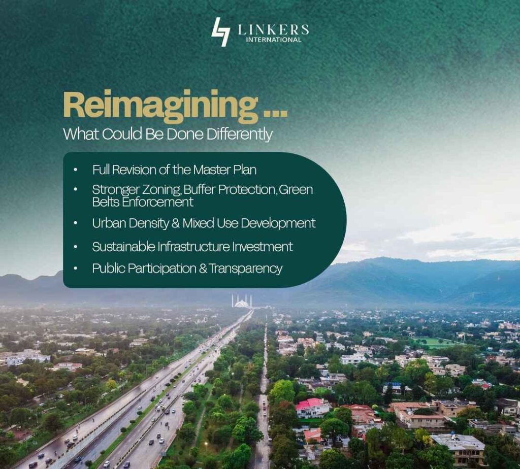
Owing to population growth, city needs, and modern trends, if we accept that the original plan is no longer fully adequate, here are paths to rethink Islamabad’s planning:
- Full Revision of the Master Plan: Not just patching, but a holistic update to reflect current realities: population growth, climate change, technological change, mobility patterns.
- Stronger Zoning, Buffer Protection, Green Belts Enforcement: Protect what remains of green areas and enforce buffer zones more strictly.
- Urban Density & Mixed Use Development: Instead of expanding outwards, build smarter within sectors, mixed‑use zones, vertical growth where appropriate to reduce sprawl.
- Sustainable Infrastructure Investment: Water supply projects (e.g. Ghazi Barotha pipeline etc.), efficient public transport, renewable energy, improved stormwater drainage.
- Public Participation & Transparency: Involve citizens, experts in master plan review, enforce building bylaws, and reduce unauthorized developments.
Verdict: Is Islamabad Still “Planned”?
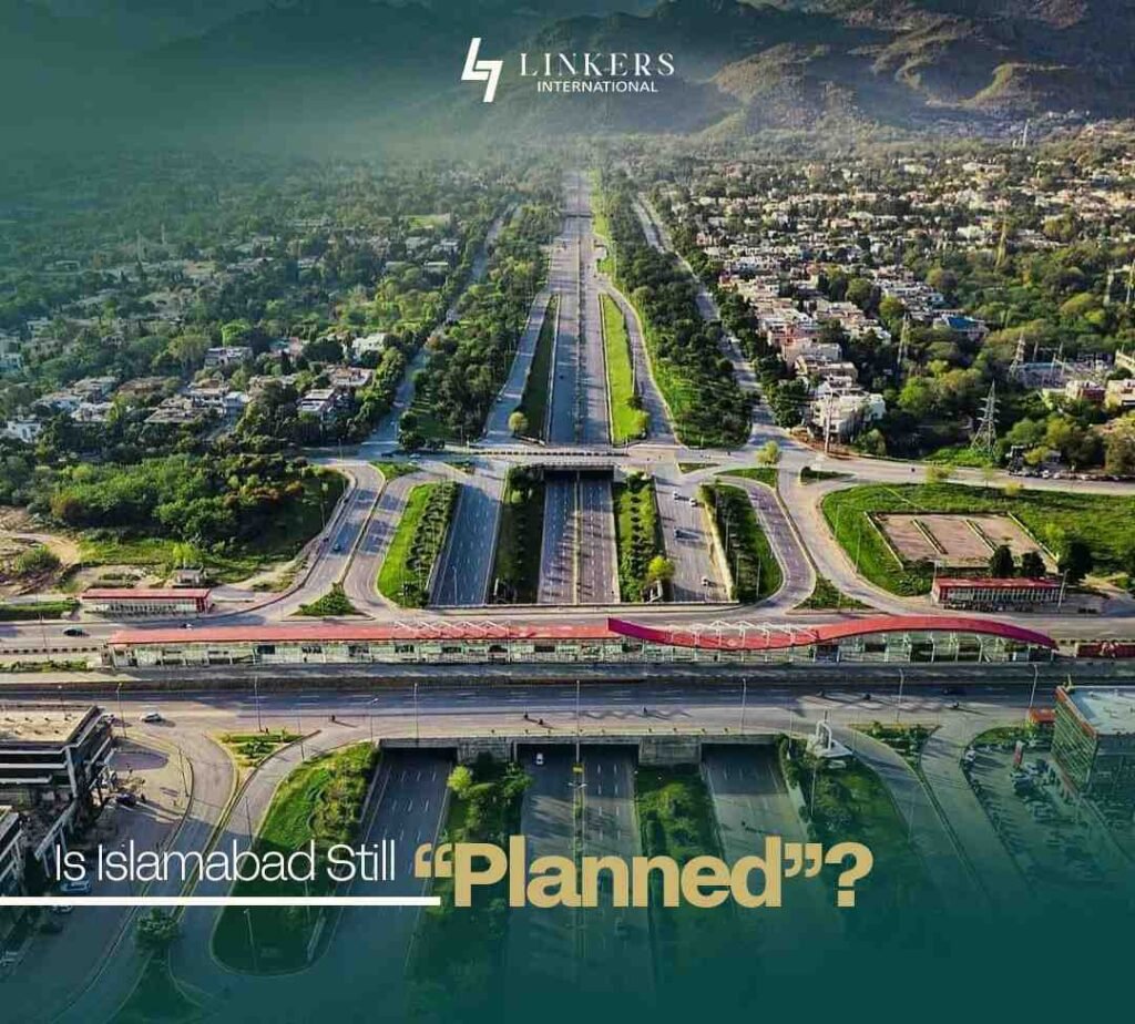
Yes, in many respects, Islamabad still shows the hallmarks of being a planned city: defined sectors, wide roads, early green belts, low‑rise architecture in many areas, and a master plan as an institutional base.
But the cracks are showing: those pillars are being weakened by population pressure, weak enforcement, ad‑hoc changes, and environmental stress. Islamabad needs a new vision, one that respects its founding ideals but updates them for 21st‑century challenges: climate, demographics, equity, and sustainability.
Frequently Asked Questions About Islamabad Master Plan
What is the Islamabad Master Plan?
The Islamabad Master Plan is the framework created to guide the city’s land use, infrastructure, residential areas, commercial zones, public facilities and future development.
When was the Islamabad Master Plan created?
The original master plan was prepared in 1960 by Doxiadis Associates and approved by the Federal Cabinet in October 1960.
Why was Islamabad designed as a planned city?
Islamabad was designed to provide an organized capital with defined residential, administrative, commercial, educational, industrial and green areas.
How is Islamabad divided into sectors?
The city follows a grid-based planning system in which sectors function as distinct neighbourhood units, supported by roads, commercial centres and community facilities.
Why does Islamabad need to rethink its Master Plan?
The city’s population, infrastructure needs, housing demand and transportation requirements have changed significantly since the original plan was created. This has increased the need to adapt planning policies to present-day conditions.
What is Islamabad Zone 4 in the Master Plan?
Islamabad Zone 4 is a large part of the Islamabad Capital Territory with areas designated for different uses, including agriculture, institutions and selected development. Its land-use framework has also been subject to changes over time.
What are the main challenges facing Islamabad’s planning today?
Major challenges include population growth, traffic congestion, housing demand, infrastructure expansion, unplanned development and pressure on green and environmentally sensitive areas.
What should a future Islamabad Master Plan focus on?
A future-oriented plan should consider sustainable growth, better public transport, efficient infrastructure, appropriate urban density, housing affordability, environmental protection and controlled expansion.
Why is Islamabad facing flash flooding despite being a planned city?
Flash flooding has been linked not only to heavy rainfall but also to poor implementation of the master plan, encroachment on natural nullahs and changes to their designated right of way.
Which areas of Islamabad were affected by recent flash floods?
The Dawn report identified E-11, Park Road near COMSATS and Ghauri Town among the areas badly affected by flash flooding.
What happened to the nullahs in E-11?
According to the report, two nullahs in E-11 had been narrowed, with one reportedly reduced from around 40 feet to 18 feet. Buildings and houses were also located along areas identified as the nullahs’ right of way.
Why is E-11 particularly vulnerable to flooding?
The narrowing and sharp bending of natural drainage channels can create bottlenecks, restricting the movement of stormwater and increasing the likelihood of flooding during heavy rainfall.
Which areas of Islamabad were affected by recent flash floods?
E-11, Park Road near COMSATS and Ghauri Town among the areas badly affected by flash flooding.
How has development affected the Gumrah Kas nullah near Park Road?
The report states that satellite images from 2005 and 2026 showed significant changes to the course of the Gumrah Kas nullah, with surrounding land subsequently used for construction.
Why does Ghauri Town experience flooding?
The report states that two natural nullahs pass through Ghauri Town and that both have been narrowed for construction, reducing their capacity to carry stormwater.
What was the proposed Lohi Bher lake or dam?
The report says Doxiadis Associates identified the low-lying area near Ghauri Town as suitable for a lake or dam as part of the original planning approach. The proposed site was not acquired for the project and is now within private housing schemes.